PCT-Southern California-Mile 0 to 566 – Photos and Videos from Ken Benson

Click here (link also shown below) to open a Google Photos tab to see the photos and videos that Ken has been capturing during what Guthook’s Guide calls “PCT: Southern California”. The images are in chronological order, from near mile 0 at the Border to mile 566 near Tehachapi.

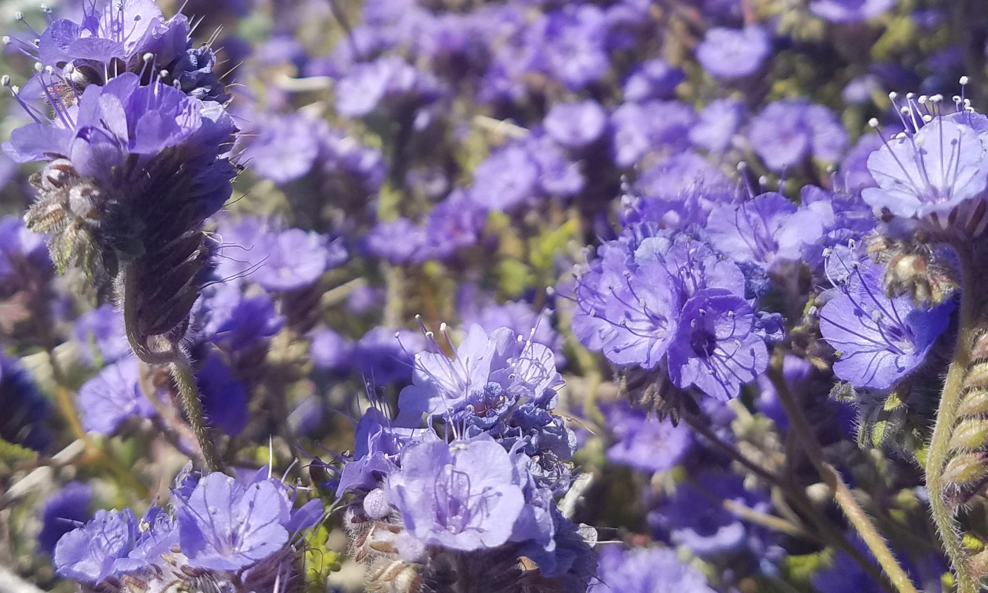
Each of the images are full resolution, meaning that you can click on them individually and zoom-in intensely. Ken’s got a great eye for color. Check out some of those flowers. Hovering the mouse over a video will play it. Alternatively, you can double-click it to play it in full screen mode.

https://photos.app.goo.gl/rjhB59UHrDdWdnETA

Thank you for sharing Ken!
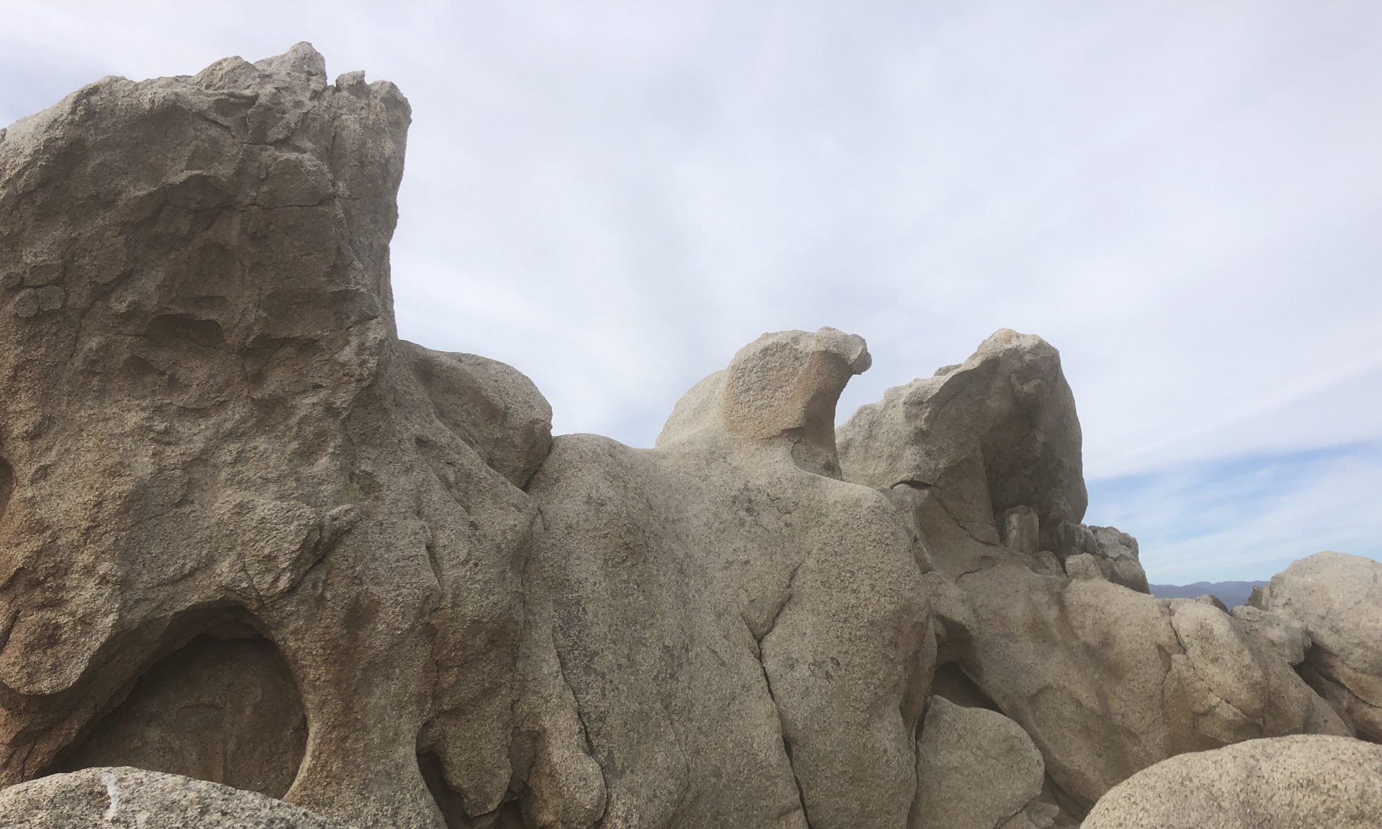
PCT 2019 Day 45 Mile 545 to 567

Winds. Winds well beyond predicted earlier in the week. NOAA issued a high wind warning with gusts to 50 mph. Of course, we didn’t know that until later that evening in Tehachapi. That explained my wind-burned face! Oh, and plenty cold! Not at all like most PCT hikers experience in this section of the trail.

PCT 2019 Day 36 Mile 440 to 444

Change of plans due to cost and opportunity, Rob and Ken make tracks. Tracks that lead them to a zero at home drop-and-swap equipment as we prepare to head into the longest, hottest, driest portion of the PCT in the desert.

PCT 2019 Day 35 Mile 421 to 440

Up early from a dry camp, Ken and Rob continue their decent to lower elevations. Water, always important, continues to get more of our attention. The views to the north and west open up as we leave more and more of the forest behind.