Dateline: Bishop, CA (20180725)
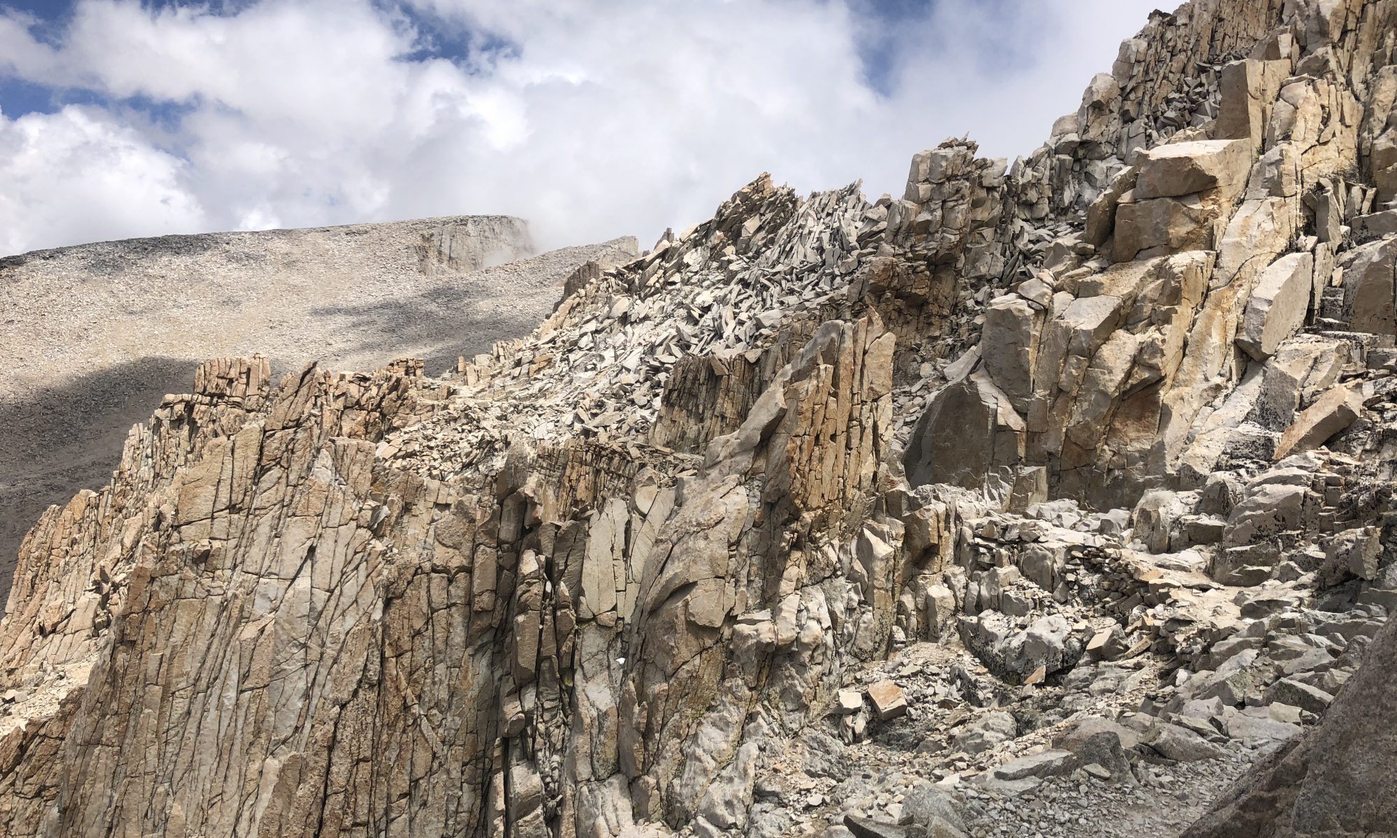
Although not a part of the official Pacific Crest Trail, the side hike to the top of Mount Whitney, at 14,505′ the highest point in the contiguous United States, most PCT hikers attempt to summit the mountain. For many reasons, many do not make it. Weather, physical conditions, and time constraints top the list for reasons for PCT hikers to fail to reach the top. To see if Rob made it, watch the video.
Fair winds
That was an amazing adventure! Thanks so much for filming and sharing it, Rob. I was on the edge of my seat for a lot of your trip. The starkness of the terrain was surprising. It looked like you were walking on the moon. Hopefully, the trip back down was uneventful (although that was impressively large hail) and enjoyable.
Hi Kathy,
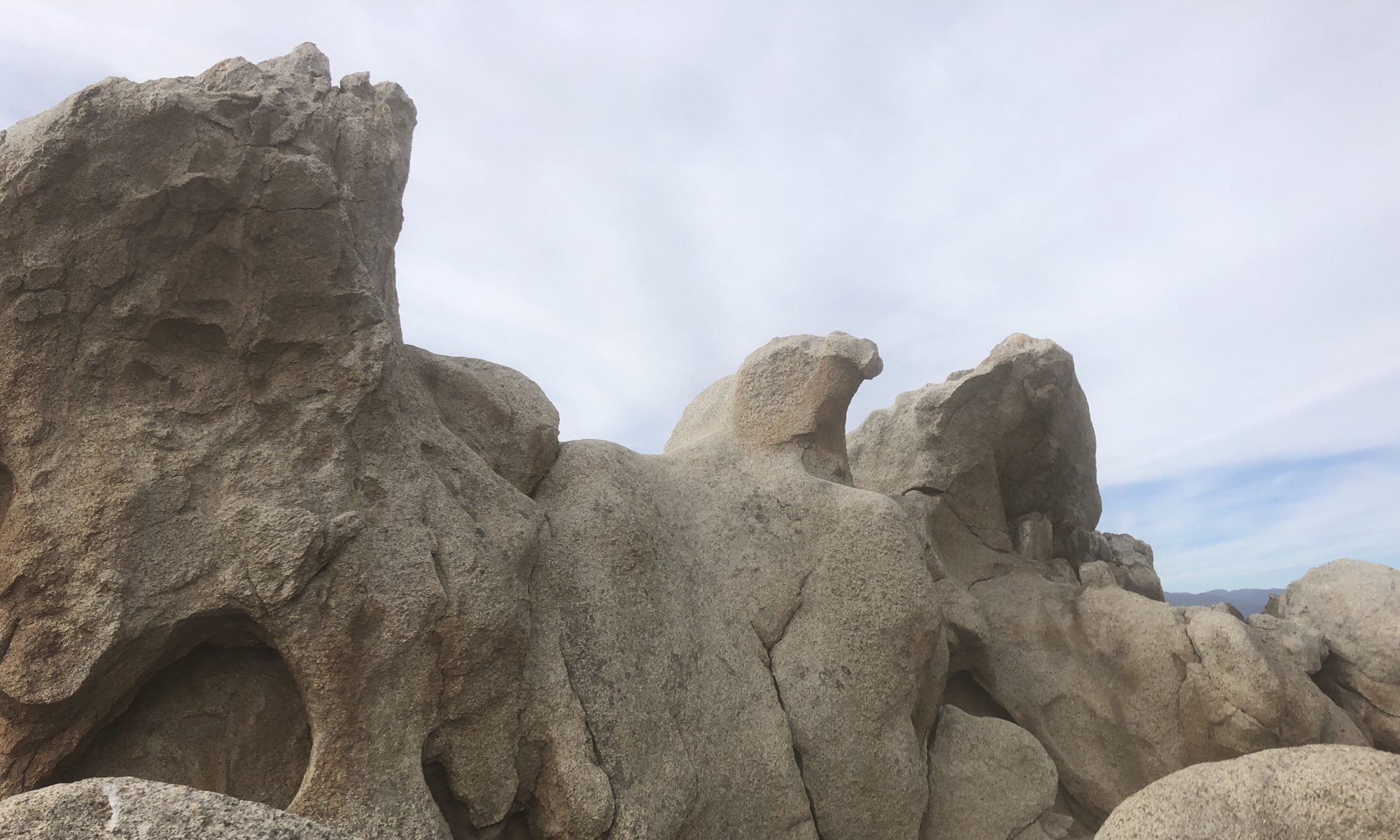
It does feel like a different world once one is up in the granite above the treeline. The trip down went faster than the trip up. And other than hearing the ‘hissing’ in the thunderclouds and a rainstorm that came near the end of the hike, it was a typical trip down and very enjoyable.
Fair winds
An actual cliff hanger (sort of) video. Any lightning on the way down?
Hi Rob,
Fortunately, there was only a few thunder claps on the way down. However, I did, for the first time in my life, hear the ‘hissing’ that the National Park Service warns about on their sign. It sounds a bit like bacon frying in a pan above your head. Very cool, but very scary at the same time. If it would have been safe, I would have stuck around a while to listen to it. Needless to say, I high-tailed it down the trail.
Fair winds